Top 10 Stops on the Icefields Parkway: Itinerary + Map
Few road trips in Canada feel quite as cinematic as driving the Icefields Parkway.
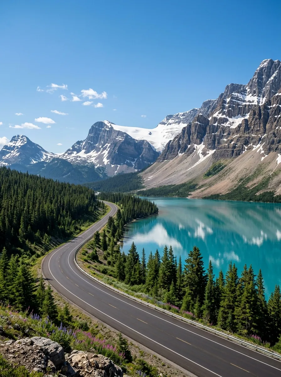
Highway 93 North connects Lake Louise in Banff National Park with Jasper in Jasper National Park, covering roughly 230 kilometers through the Canadian Rockies. Along the way, you pass turquoise lakes, hanging glaciers, enormous peaks, waterfalls, deep canyons and the Columbia Icefield.
The road itself is the attraction.
You don’t need to drive hundreds of kilometers just to reach one spectacular viewpoint. Sometimes the next bend reveals an even better one.
But there is a catch: trying to stop at everything can turn the journey into a frantic race against daylight.
For a first trip, these are the 10 stops I’d build an Icefields Parkway itinerary around, arranged from south to north so you can follow the route naturally.
Recommended Travel Items for Your Trip
Icefields Parkway Map
Here is the simple south-to-north route:
Lake Louise → Herbert Lake → Bow Lake → Peyto Lake → Mistaya Canyon → Saskatchewan River Crossing → Columbia Icefield & Athabasca Glacier → Tangle Falls → Sunwapta Falls → Athabasca Falls → Jasper
The 10 main stops in this guide are:
- Herbert Lake
- Bow Lake
- Peyto Lake
- Mistaya Canyon
- Saskatchewan River Crossing
- Columbia Icefield
- Athabasca Glacier
- Tangle Falls
- Sunwapta Falls
- Athabasca Falls
Parks Canada provides an official Icefields Parkway map showing the route, distances, viewpoints, trailheads, campgrounds and services.
Official Icefields Parkway map: Parks Canada Icefields Parkway Map
Icefields Parkway at a Glance
| Detail | Information |
| Highway | Alberta Highway 93 North |
| Route | Lake Louise to Jasper |
| Approx. distance | 230 km |
| Direction | South to north |
| Recommended time | Full day |
| National parks | Banff and Jasper |
| Main season | Late spring through fall |
| Cell service | Not available along much of the parkway |
| Fuel | Limited, so start with a full tank |
| Best for | Lakes, glaciers, waterfalls, wildlife and hiking |
Parks Canada specifically recommends allowing a full day to travel the parkway one way. There are also no gas stations between Jasper and Saskatchewan Crossing, a distance of about 154 kilometers, so fuel planning matters.
Before You Drive the Icefields Parkway
The Icefields Parkway isn’t a normal highway.
There are long stretches without services, limited cell coverage and mountain weather that can change quickly.
Before leaving, check:
- Alberta 511 for current road conditions
- Weather forecasts
- Wildlife warnings
- Park closures
- Fuel level
- Trail conditions
- Seasonal operating hours
- Your accommodation location
Parks Canada specifically advises travelers to check 511 Alberta before driving the parkway.
You also need a valid national park pass to travel through the national parks along the route.
Fill Your Tank Before You Go
Don’t wait until the fuel gauge is flirting with empty.
Depending on your direction of travel, fuel is available around Lake Louise, Saskatchewan River Crossing and Jasper, but there is a long stretch without fuel between Jasper and Saskatchewan Crossing.
A full tank gives you considerably more freedom to stop for photographs, short hikes and unexpected wildlife sightings.
Stop 1: Herbert Lake
Distance from Lake Louise: About 20 km
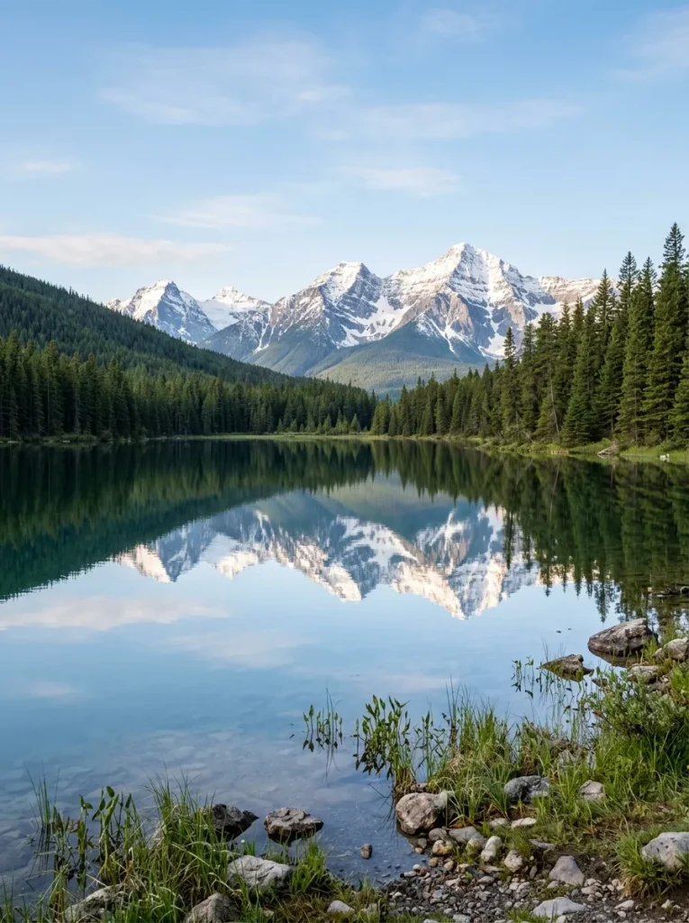
Herbert Lake is an easy first stop after leaving Lake Louise. It doesn’t require a major hike, which makes it a perfect way to ease into the Icefields Parkway.
The lake is particularly attractive when the water is calm enough to reflect the surrounding mountains. Parks Canada describes Herbert Lake as a favorite location for photographers because of its mountain reflections.
Why Stop Here?
Herbert Lake is useful for three reasons:
- It’s close to Lake Louise
- It requires very little time
- The scenery immediately establishes the scale of the Rockies
Allow around 15 to 30 minutes.
If the lake is perfectly calm, give yourself longer.
Stop 2: Bow Lake
Distance from Lake Louise: About 37 km
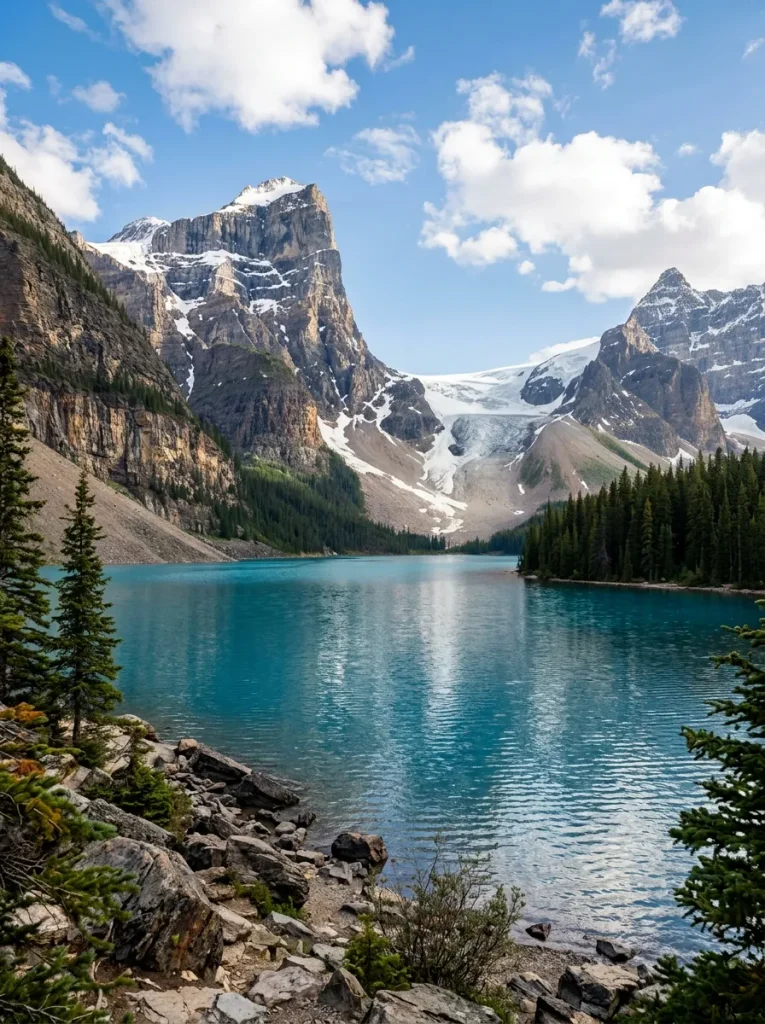
Bow Lake is one of the most beautiful stops on the entire parkway. The turquoise-blue lake sits beneath dramatic peaks, with Bow Glacier visible beyond the water.
It is also the source of the Bow River, which eventually flows toward Calgary.
The main parking areas can become extremely busy during summer, so arriving early or later in the day can make the experience considerably easier.
What to Do at Bow Lake
- You can keep this stop simple.
- Walk along the lakeshore.
- Take photographs.
- Have a picnic.
- Look toward Bow Glacier.
Or, if you have extra time, hike toward Bow Glacier Falls.
The official Bow Glacier Falls trail is approximately 7.6 km round trip and takes about three hours. For a one-day Parkway itinerary, I would stick with the lake unless you’re deliberately building the trip around hiking.
Recommended time: 30 to 60 minutes
Stop 3: Peyto Lake
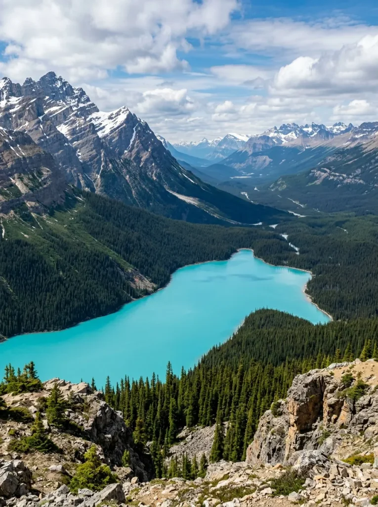
Distance from Lake Louise: About 40 km
If you only remember a handful of names from this article, make Peyto Lake one of them.
The lake’s intense blue-green color, surrounding mountains and elevated viewpoint make it one of the signature landscapes of the Icefields Parkway.
The short walk to the main viewpoint is approximately 0.6 km one way, with a relatively modest elevation change. Parks Canada lists the round-trip walk at about 30 minutes.
The viewpoint sits above the lake, giving you that classic postcard perspective.
Peyto Lake or Bow Lake?
Don’t choose.
They’re close enough that both belong on the itinerary. Bow Lake gives you a lakeshore experience.
Peyto Lake gives you the dramatic elevated view. Together, they make one of the strongest scenic combinations on the Parkway.
Recommended time: 30 to 45 minutes
Stop 4: Mistaya Canyon
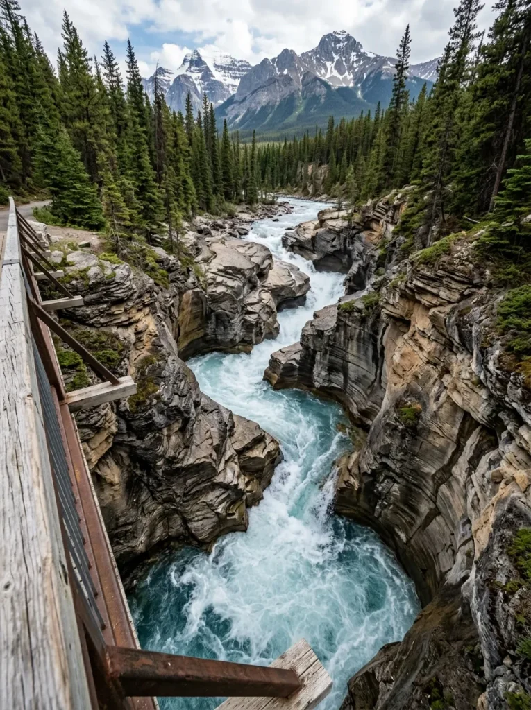
Distance from Lake Louise: About 72 km
Mistaya Canyon is where the Icefields Parkway changes from huge open landscapes to something much tighter and more dramatic.
The Mistaya River has carved a deep, twisting canyon into the rock. A short trail descends from the parking area to a bridge overlooking the canyon.
Parks Canada lists the walk at approximately 0.6 km one way and around 30 minutes round trip. The canyon’s swirling rock formations are particularly impressive from the bridge.
Important Safety Tip
Don’t climb onto the rocks around the canyon edge.
The water below moves with considerable force, and wet rock can be extremely slippery. Parks Canada specifically advises visitors to stay on designated areas rather than walking along the canyon edge.
Recommended time: 30 to 45 minutes
Stop 5: Saskatchewan River Crossing
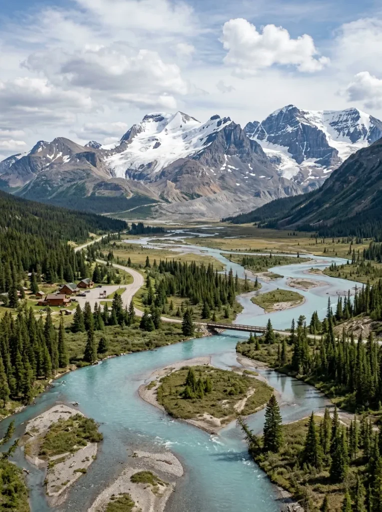
This isn’t necessarily the most spectacular viewpoint of the day.
It is, however, one of the most useful stops. Saskatchewan River Crossing sits where major routes meet near the southern end of the central Icefields Parkway.
It is one of the places where you can take a proper break during the journey.
Why Stop Here?
Use this stop for:
- Fuel
- Food
- Restrooms
- Coffee
- Checking your route
- Taking a break from driving
This is especially useful if you’re driving from Lake Louise toward Jasper because services become increasingly sparse farther north.
Don’t think of Saskatchewan River Crossing as a place you need to spend an hour sightseeing.
Think of it as the place that prevents the second half of your road trip from becoming uncomfortable.
Recommended time: 20 to 45 minutes
Stop 6: Columbia Icefield
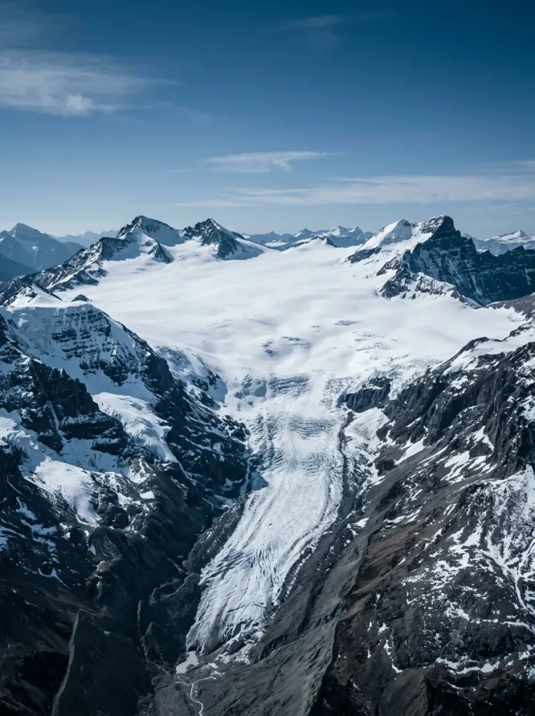
Distance from Lake Louise: About 130 km
Now the scenery starts feeling genuinely enormous. The Columbia Icefield is one of the defining geographical features of the Icefields Parkway.
The massive icefield feeds several major glaciers, including the Athabasca Glacier.
The Columbia Icefield Discovery Centre provides a useful base for exploring the area and is located directly across from the Athabasca Glacier access area.
What Can You Do Here?
Depending on the season and your plans, you can:
- Visit the Icefields Discovery Centre
- View Athabasca Glacier
- Take a commercial glacier tour
- Visit the Glacier Skywalk
- Hike toward the glacier
- Stop for food
If you’re trying to complete the entire Parkway in one day, don’t attempt every paid attraction.
Choose the experience that matters most to you.
Stop 7: Athabasca Glacier
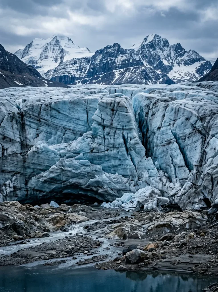
The Athabasca Glacier is probably the most famous individual attraction along the Parkway.
It is part of the Columbia Icefield and is visible from the highway.
You can see the glacier from the roadside area or walk toward its toe.
Parks Canada lists the Toe of the Athabasca Glacier trail as approximately 1.8 km round trip with around 60 meters of elevation change, taking about an hour.
Do Not Walk Onto the Glacier Yourself
This is extremely important. The glacier may look calm from a distance, but hidden crevasses, unstable ice and extremely cold meltwater create serious hazards.
Parks Canada warns visitors not to walk on the glacier independently and notes that people have died after falling into crevasses. If you want to travel onto the glacier, use an authorized commercial experience with appropriate equipment and guides.
How Long Should You Spend Here?
For a basic viewpoint and short walk:
45 to 90 minutes
For a paid glacier experience:
Allow considerably longer and check the operator’s schedule before planning the rest of your day.
Stop 8: Tangle Falls
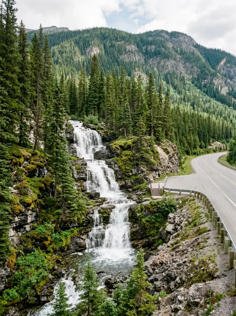
Distance from Jasper: About 99 km
Tangle Falls is a quick roadside waterfall stop north of the Columbia Icefield. The waterfall tumbles down a series of rock steps beside the highway.
It doesn’t require a huge time commitment, which is exactly why it works so well in a one-day itinerary.
Stop.
- Take photographs.
- Stretch your legs.
Then continue.
Recommended time: 10 to 20 minutes
You don’t need to turn every stop into a two-hour hike. Sometimes five photographs and a deep breath are enough.
Stop 9: Sunwapta Falls
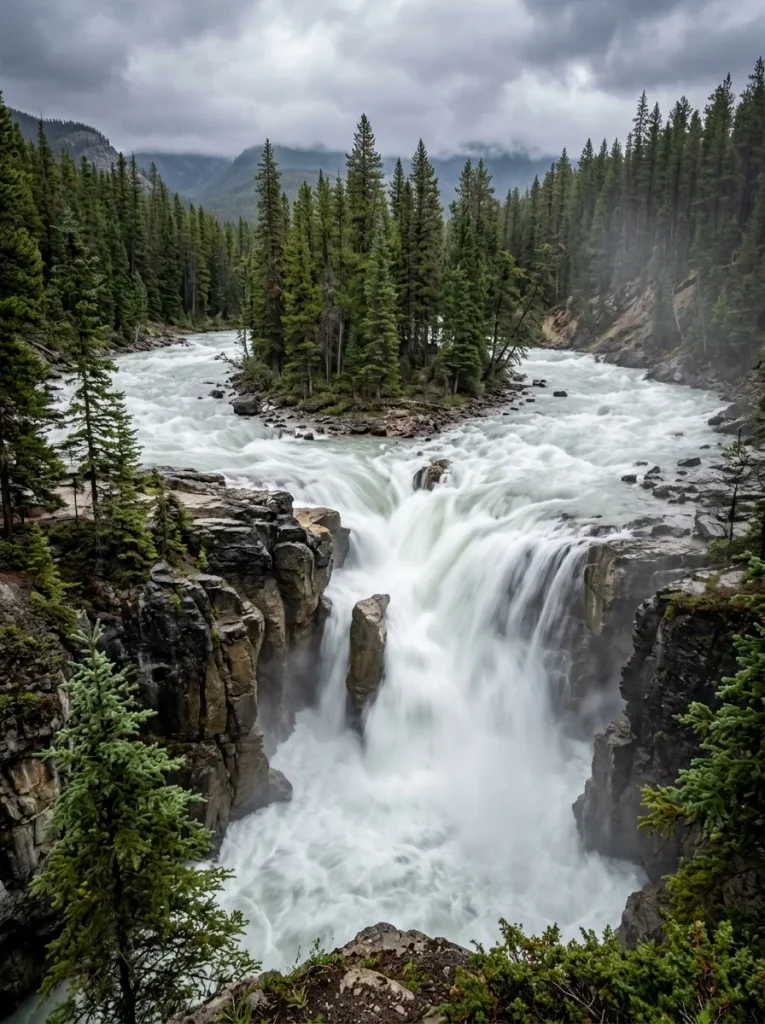
Distance from Jasper: About 54 km
Sunwapta Falls is one of the major waterfall stops between the Columbia Icefield and Jasper. The Sunwapta River plunges through a dramatic canyon, creating a powerful waterfall system.
Parks Canada lists Sunwapta Falls among the key attractions along this section of the Parkway. The main falls are easy to reach, and a short walk takes you toward additional viewpoints.
Upper and Lower Falls
Sunwapta has two main sections. The upper falls are closest to the parking area.
The lower falls require additional walking but provide a more secluded experience. If you’re racing daylight, visit the upper falls. If you have extra time, continue toward the lower falls.
Recommended time: 30 to 60 minutes
Stop 10: Athabasca Falls
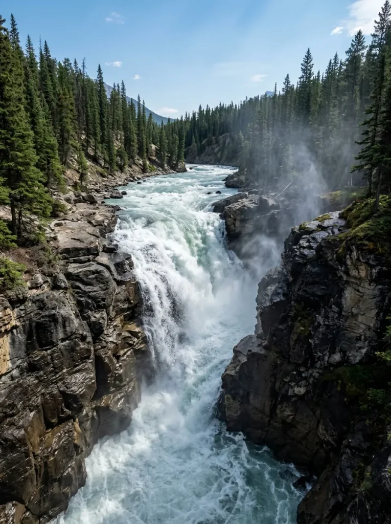
Distance from Jasper: About 31 km
Athabasca Falls is an excellent final major stop before reaching Jasper.
The waterfall isn’t especially tall compared with some waterfalls around the world.
But its power is impressive.
The Athabasca River squeezes through a narrow canyon and crashes through the rock with enormous force.
Parks Canada recommends staying behind railings and on designated trails because the rocks near the falls are slippery and dangerous.
The falls are also an excellent reminder of what makes the Icefields Parkway so special.
You can spend the morning looking at glaciers.
By evening, you’re watching glacier-fed water carve through ancient rock.
Recommended time: 30 to 45 minutes
Icefields Parkway One-Day Itinerary
Now let’s turn those stops into an actual road trip.
The following schedule assumes you’re traveling from Lake Louise to Jasper and have a full summer day with long daylight hours.
| Time | Stop | Suggested Duration |
| 7:00 AM | Leave Lake Louise | |
| 7:20 AM | Herbert Lake | 20 min |
| 8:00 AM | Bow Lake | 45 min |
| 9:00 AM | Peyto Lake | 45 min |
| 10:15 AM | Mistaya Canyon | 30 min |
| 11:15 AM | Saskatchewan River Crossing | 30 min |
| 12:30 PM | Columbia Icefield | 30 min |
| 1:00 PM | Athabasca Glacier | 60 min |
| 2:30 PM | Lunch/refreshment stop | 30 min |
| 3:15 PM | Tangle Falls | 15 min |
| 4:00 PM | Sunwapta Falls | 45 min |
| 5:00 PM | Athabasca Falls | 45 min |
| 6:00–6:30 PM | Arrive Jasper |
This is deliberately ambitious.
Road traffic, wildlife sightings, parking, construction, weather and photography can easily add time.
Don’t treat the schedule like a railway timetable.
Treat it as a framework.
A More Relaxed Icefields Parkway Itinerary
If you want to actually hike and enjoy the landscape instead of collecting parking lots, spread the journey over two days.
Day 1: Lake Louise to Columbia Icefield
Start in Lake Louise.
Visit:
- Herbert Lake
- Bow Lake
- Peyto Lake
- Mistaya Canyon
- Saskatchewan River Crossing
- Columbia Icefield
Stay near the Columbia Icefield area if accommodation is available.
Day 2: Columbia Icefield to Jasper
Start with:
- Athabasca Glacier
- Tangle Falls
- Sunwapta Falls
- Athabasca Falls
- Jasper
This version gives you considerably more breathing room.
Where Should You Start the Icefields Parkway?
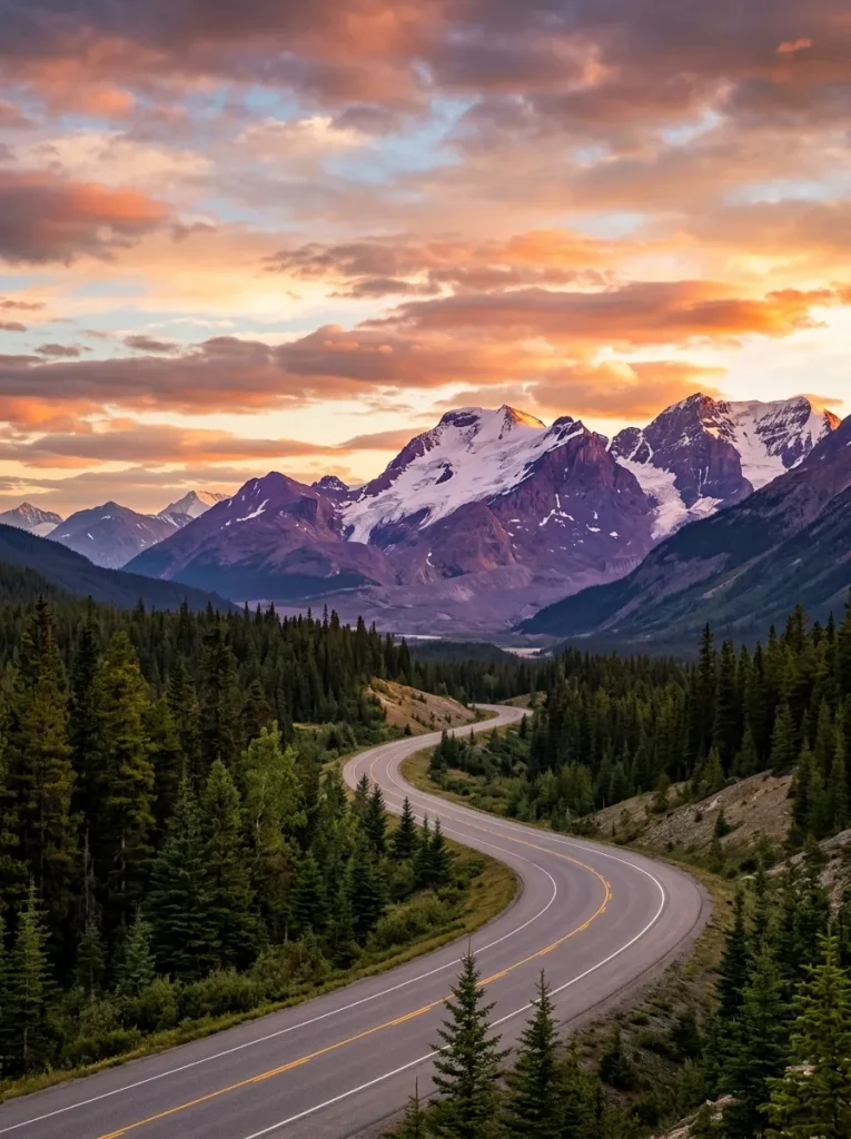
The classic route is:
Lake Louise → Jasper
This direction works particularly well if you’re finishing a Banff trip and continuing toward Jasper.
But the road is equally beautiful in the opposite direction.
Lake Louise to Jasper
Best if you’re:
- Starting in Banff or Lake Louise
- Continuing north
- Combining Banff and Jasper
- Flying out of Edmonton later
Jasper to Lake Louise
Best if you’re:
- Starting in Jasper
- Arriving from Edmonton
- Continuing toward Banff
- Heading toward Calgary afterward
There isn’t a wrong direction.
The mountains don’t suddenly become less impressive when you reverse the route.
Best Time to Drive the Icefields Parkway
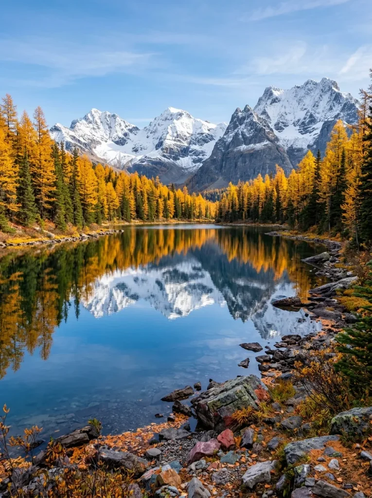
The classic road-trip season is roughly late spring through early fall.
Summer gives you the most reliable access to services and attractions, but it also brings the greatest number of visitors.
Parks Canada notes that services along the Parkway are generally available from June through September.
June
Good for:
- Waterfalls
- Long daylight
- Fresh mountain scenery
But snow can still affect higher areas.
July and August
These are popular months for the full Parkway experience.
Expect:
- More visitors
- Busier parking areas
- Longer daylight
- More accessible trails
- More open services
Arrive early at major stops.
September
September can be excellent for a road trip.
Crowds often begin easing, while fall colors start appearing in the landscape.
For more September travel ideas, you can also explore these best places to travel in the US in September.
October and Beyond
The Parkway can still be spectacular, but conditions become increasingly unpredictable.
Snow, ice and winter driving conditions can appear quickly.
Always check current road conditions before setting out.
Can You Drive the Icefields Parkway in Winter?
Yes, but winter travel is very different from the classic summer road trip.
You should expect:
- Snow
- Ice
- Shorter daylight
- Colder temperatures
- Fewer services
- Seasonal closures
- Changing road conditions
Parks Canada provides separate summer and winter Icefields Parkway maps, which is a good reminder that this route needs different planning depending on the season.
If you’re planning a winter trip, check Alberta 511 immediately before departure.
How Much Time Do You Need?
One Day
Possible if you’re primarily sightseeing.
Expect a long day.
Two Days
Much better if you want short walks, photography and a more relaxed pace.
Three Days
Ideal if you want to add meaningful hikes.
You could include Parker Ridge, Bow Glacier Falls, Wilcox Pass or other trails depending on conditions and fitness.
Parks Canada lists Parker Ridge at 5.4 km return and about three hours, while Wilcox Pass is approximately 8 km return and takes around two to three hours according to its Icefields Parkway guide.
Four or More Days
Now you’re turning the drive into a proper Rocky Mountain adventure.
You can add:
- Lake Louise
- Moraine Lake
- Banff
- Jasper
- Longer hikes
- Wildlife viewing
- Glacier experiences
- Scenic detours
Best Hikes Along the Icefields Parkway
If you have extra time, don’t just add more viewpoints.
Add a hike.
Parker Ridge
One of the best choices if you want a relatively manageable hike with huge glacier views.
Parks Canada lists the route at 5.4 km return with about 250 meters of elevation gain and approximately three hours.
Wilcox Pass
A stronger option for hikers who want expansive alpine scenery. The route climbs quickly above the treeline and offers views toward the Columbia Icefield.
Bow Glacier Falls
A good choice if you’re already stopping at Bow Lake. The official trail is about 7.6 km round trip and takes around three hours.
Valley of the Five Lakes
Near Jasper, this 4.5 km loop passes five colorful lakes and takes about two hours according to Parks Canada.
Wildlife Along the Icefields Parkway
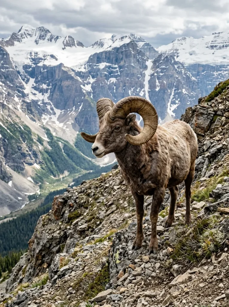
Keep your eyes open.
The Canadian Rockies are home to:
- Elk
- Bighorn sheep
- Mountain goats
- Black bears
- Grizzly bears
- Marmots
- Pikas
- Mountain birds
But wildlife viewing requires distance and patience. Don’t stop in unsafe locations just because you see an animal.
Don’t approach wildlife. And never create a roadside traffic jam around an animal.
A mountain goat is impressive. Twenty cars parked around it is considerably less impressive.
What to Pack
Even during summer, bring layers.
The Columbia Icefield area can be cold and windy, and Parks Canada warns that temperatures can remain cool with strong winds and occasional cold rain or wet snow even during midsummer.
Icefields Parkway Packing List
- Warm jacket
- Waterproof shell
- Comfortable walking shoes
- Hiking shoes if tackling trails
- Gloves
- Hat
- Sunglasses
- Sunscreen
- Water bottle
- Snacks
- Lunch
- Camera
- Portable battery
- Offline map
- Binoculars
- Emergency supplies
A small backpack is useful for carrying layers and food when stopping for short hikes.
Is There Cell Service on the Icefields Parkway?
Do not count on it. Parks Canada states that there is no cell coverage along the Icefields Parkway.
Download your maps before leaving. Tell someone your general itinerary if you’re traveling alone.Keep your vehicle fueled. And don’t rely on your phone as your only navigation tool.
Where to Eat Along the Icefields Parkway
Food options are limited compared with a normal highway. You should carry your own lunch and snacks.
Saskatchewan River Crossing and the Columbia Icefield area provide seasonal services, but opening dates and hours can vary.
Parks Canada notes that services along the Parkway are generally available June through September. For maximum flexibility, pack a picnic.
There’s something particularly satisfying about eating lunch beside a turquoise Rocky Mountain lake with absolutely no drive-through window in sight.
Icefields Parkway Photography Tips
You don’t need expensive equipment to photograph this road. The biggest advantage is simply being there at the right time.
Shoot Early
Morning light can soften the mountains and reduce crowds.
Look for Reflections
Herbert Lake and Bow Lake can produce excellent reflections when the water is calm.
Use People for Scale Carefully
If photographing companions, placing them far enough into the landscape can help communicate the enormous scale of the mountains.
Don’t Stop Anywhere
Only pull over at designated viewpoints and parking areas.
A beautiful photograph isn’t worth creating a traffic hazard.
Common Mistakes on the Icefields Parkway
Trying to See Everything
There are too many viewpoints to stop at every one.
Leaving Too Late
You’ll spend more time fighting traffic and parking.
Forgetting Fuel
This is one of the easiest mistakes to avoid.
Relying on Cell Service
Download everything beforehand.
Underestimating Weather
The forecast at Lake Louise doesn’t necessarily tell you what conditions will feel like around the Columbia Icefield.
Planning Long Hikes Into a One-Day Drive
Choose either a relaxed scenic drive or a serious hiking day.
Trying to do both can produce a very long day.
Is the Icefields Parkway Worth It?
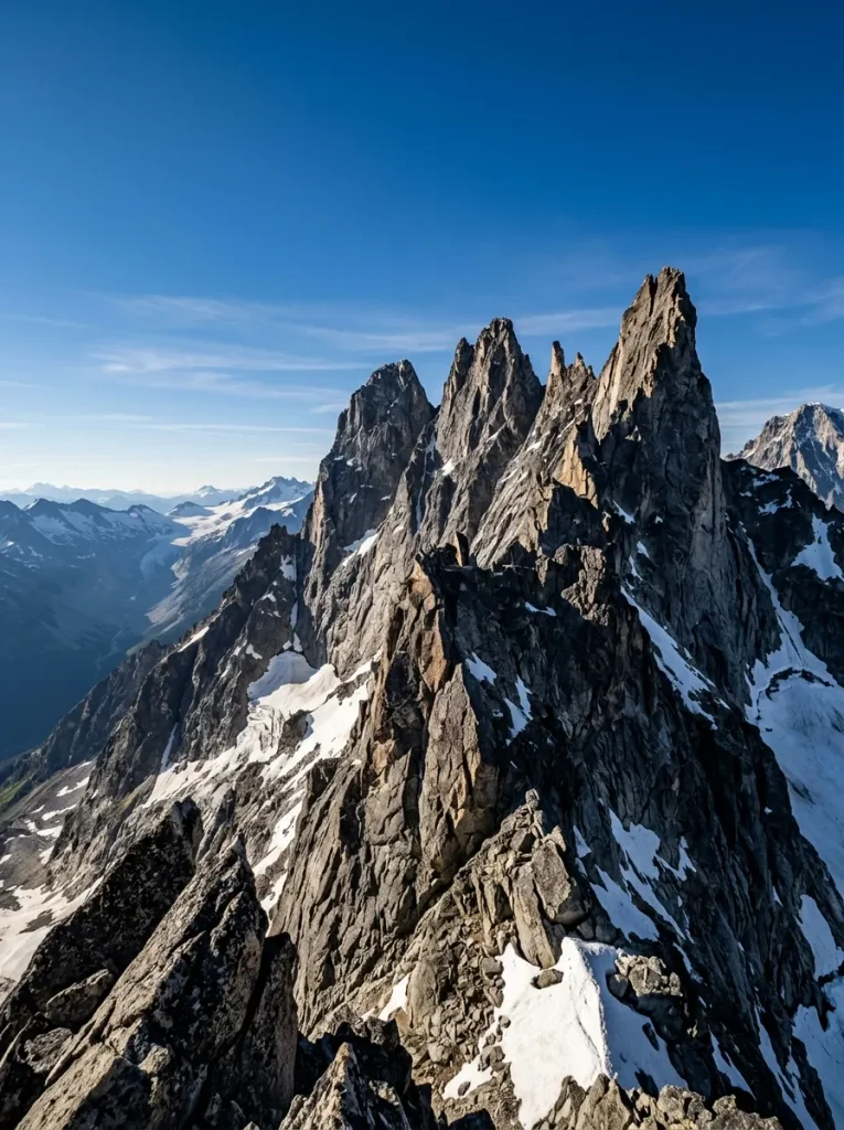
Absolutely, but the best way to experience it is not to treat it as a road connecting Banff and Jasper.
The road is the journey.Every few kilometers, the landscape changes.A quiet lake becomes a glacier. A glacier becomes a waterfall. A waterfall becomes a canyon.
Then another enormous mountain appears around the bend. The 10 stops above give you a strong first-time itinerary without requiring you to stop at every single pullout.
If you have only one day, start early and prioritize Bow Lake, Peyto Lake, Mistaya Canyon, the Columbia Icefield, Athabasca Glacier, Sunwapta Falls and Athabasca Falls.
If you have two days, slow down. If you have three or more, add the hikes. And if you find yourself staring at the mountains for ten minutes without taking a photograph, that’s fine too.
Some roads are meant to be remembered rather than merely documented.