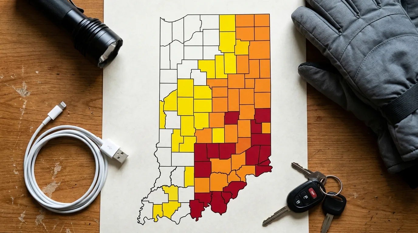
Indiana Travel Advisory Map: How to Check County Travel Status, Road Conditions and Winter Warnings
Indiana weather can redraw a road-trip plan in minutes.
A calm morning may give way to freezing rain, drifting snow, flooded roads or dense fog by afternoon. Conditions can also differ dramatically between neighboring counties. One county may report normal travel while the next is under an orange Watch or red Warning.
The Indiana Travel Advisory Map helps residents and visitors understand these county-level travel restrictions before leaving home. Operated by the Indiana Department of Homeland Security, the map displays the latest status reported by each county’s emergency management agency.
This guide explains how to use the Indiana Travel Advisory Map, what its yellow, orange and red colors mean, how it differs from INDOT’s road-condition tools, and what to do before driving during severe weather.
IMPORTANT
Travel statuses can change quickly. Always open the live Indiana Department of Homeland Security map immediately before departure rather than relying on an old screenshot, social-media post or news article.
Recommended Travel Items for Your Trip
Indiana Travel Advisory Map at a Glance
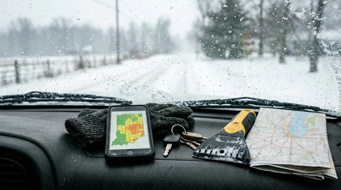
| Map Color | Official Status | General Meaning | Recommended Response |
| No highlighted color | No Elevated Status Reported | The county has not reported an elevated advisory | Continue checking weather and roads |
| Yellow | Advisory | Routine travel may be restricted in hazardous areas | Use caution or avoid affected areas |
| Orange | Watch | Conditions threaten public safety | Limit driving to essential travel |
| Red | Warning | Highest local travel-advisory level | Refrain from travel unless officially exempt |
The official map covers all 92 Indiana counties. Users can select a county directly on the map, choose it from a dropdown menu or review the alphabetical table beneath the map. The selected county’s status and the latest update time reported by local officials appear with the result.
What Is the Indiana Travel Advisory Map?

The Indiana Travel Advisory Map is a statewide county-status system maintained by the Indiana Department of Homeland Security, often abbreviated as IDHS.
It shows whether individual counties have declared one of three local travel-advisory levels:
- Advisory
- Watch
- Warning
County emergency management agencies determine their local status and send updates to the state. The statewide map changes after those county reports are received.
The map is most frequently used during:
- Snowstorms
- Freezing rain
- Ice accumulation
- Flooding
- Severe thunderstorms
- Tornado damage
- High winds
- Downed power lines
- Major road obstructions
- Other local emergencies
Although winter weather produces many of the map’s busiest moments, counties can issue travel advisories whenever a hazardous situation threatens safe movement.
Where to Find the Official Indiana Travel Advisory Map
Use the Indiana Department of Homeland Security’s official Travel Advisory Map page.
On the page, you can:
- Select a county directly on the interactive map.
- Choose a county from the dropdown menu.
- Review the latest status and reporting time.
- Scroll down to see an alphabetical table of all counties.
- Open the simplified full-screen version on a phone or tablet.
The former Indiana Travel Advisory mobile app is no longer available. IDHS directs users to access the mobile-friendly map through the website instead.
REFRESH THE PAGE
The simplified map does not automatically refresh inside your browser. IDHS advises users to reload or refresh the page to retrieve the newest county reports.
What the Indiana Travel Advisory Colors Mean
The map’s three colors are not merely descriptions of whether roads look unpleasant. Each represents an official local advisory level with specific public guidance.
Yellow: Advisory

What a Yellow Advisory Means
Yellow is the lowest elevated travel status.
An Advisory means routine travel or activities may be restricted in some areas because of a hazardous situation. People should use caution or avoid the affected locations.
A yellow county does not necessarily mean every road is impassable. Conditions may vary between:
- Main highways
- Residential streets
- Rural county roads
- Bridges and overpasses
- Exposed north-south roads
- Low-lying flood-prone areas
What to Do During a Yellow Advisory
Before driving:
- Check the weather forecast.
- Look at INDOT traffic and road information.
- Allow additional travel time.
- Reduce speed.
- Increase following distance.
- Avoid untreated rural roads where possible.
- Carry winter emergency supplies.
- Tell someone your route and expected arrival time.
A yellow status is the map’s gentlest warning, but it should not be treated as decorative confetti. Hazardous pockets can still make an ordinary journey dangerous.
Orange: Watch

What an Orange Watch Means
An orange Watch means conditions threaten public safety.
During a Watch, Indiana recommends only essential travel, including journeys to and from work or travel related to an emergency. Businesses, schools, government agencies and other organizations should implement their emergency plans.
This is a significant escalation from yellow.
What Counts as Essential Travel?
The state’s guidance gives work and emergency situations as examples, but individual circumstances vary.
Before leaving, consider:
- Is the trip genuinely necessary?
- Can the appointment be postponed?
- Can work be completed remotely?
- Has your employer issued instructions?
- Does your route cross counties with higher alert levels?
- Are emergency responders asking people to remain off the roads?
An orange Watch is a strong signal to cancel recreational outings, shopping trips and casual visits.
What to Do During an Orange Watch
- Delay nonessential travel.
- Contact your employer before commuting.
- Use major treated roads where possible.
- Avoid shortcuts through rural areas.
- Keep your fuel tank well above empty.
- Carry blankets, water and a phone charger.
- Expect businesses or public facilities to close.
- Watch for rapidly worsening conditions.
Red: Warning
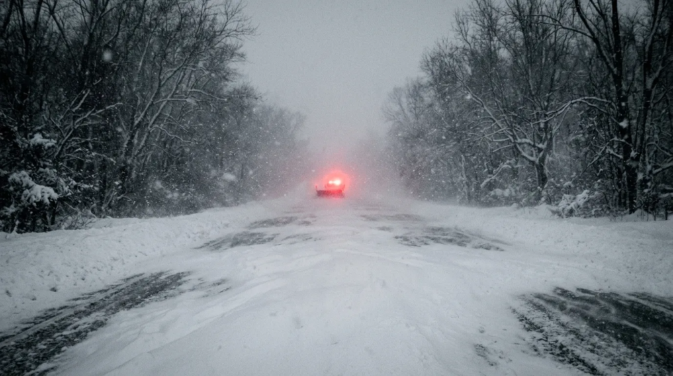
What a Red Warning Means
Red is the highest Indiana local travel-advisory level.
During a Warning, travel may be restricted to emergency management personnel. The public is directed to refrain from travel, comply with emergency measures, cooperate with public officials and follow lawful directions from properly identified officers. Additional exceptions are governed by Indiana law and any local declaration.
A red county is not simply telling drivers to “be careful.” It is telling the general public to stay off the roads.
Why Driving During a Warning Is Dangerous
Travel during a red Warning can:
- Place you at risk of becoming stranded.
- Delay ambulances, fire crews and police.
- Interfere with snowplows and utility vehicles.
- Create secondary crashes.
- Consume emergency resources.
- Place tow operators and first responders in danger.
- Potentially violate local emergency restrictions.
What to Do During a Red Warning
- Remain where you are.
- Do not begin a road trip.
- Contact your employer or destination.
- Follow county emergency-management instructions.
- Keep roads clear for emergency responders.
- Monitor local alerts for status changes.
- Call emergency services only for a genuine emergency.
RED MEANS STOP
Do not assume an all-wheel-drive vehicle, pickup truck or large SUV makes a red Warning irrelevant. Four-wheel drive may help a vehicle move, but it does not improve visibility, eliminate ice or shorten braking distance.
What Does “No Elevated Status Reported” Mean?
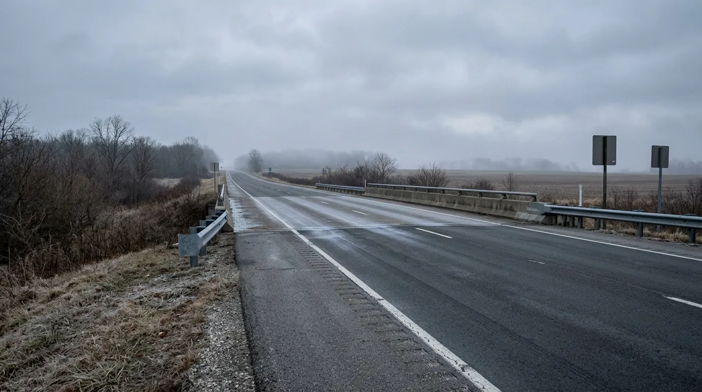
A county without a yellow, orange or red status is shown as having No Elevated Status Reported.
This does not guarantee:
- Dry pavement
- Perfect visibility
- No isolated ice
- No crashes
- No flooding
- No construction
- No weather-related delays
It means the county has not reported an elevated local travel status to IDHS.
You should still review forecasts, INDOT traffic information and local emergency alerts.
Who Updates the Indiana Travel Advisory Map?
Each county’s emergency management agency provides its own status.
When the county initiates or changes an official travel advisory and reports it to the state, the statewide system updates with that information.
This explains why adjoining counties may display different colors even during the same storm.
Local officials consider conditions within their jurisdiction, which may include:
- Snowfall totals
- Ice accumulation
- Drifting snow
- Visibility
- Road treatment progress
- Flooding
- Downed trees
- Utility damage
- Available emergency resources
- Forecast deterioration
A storm may strike northern Indiana first, move through central counties later and weaken before reaching the south. The county-by-county map captures those differences more accurately than a single statewide status.
How Often Does the Map Update?
There is no universal fixed update interval.
The map changes when county emergency management agencies submit revised information. A county may remain at one level for hours or change rapidly as weather deteriorates or road crews improve conditions.
Always check the timestamp shown for the selected county.
Why the Timestamp Matters
Suppose two counties both appear orange:
- County A was updated five minutes ago.
- County B was last updated several hours ago.
The same color is displayed, but the recency of the underlying information differs.
Refresh the page, note the reporting time and compare it with current weather information before deciding whether to travel.
How to Check a County’s Travel Status
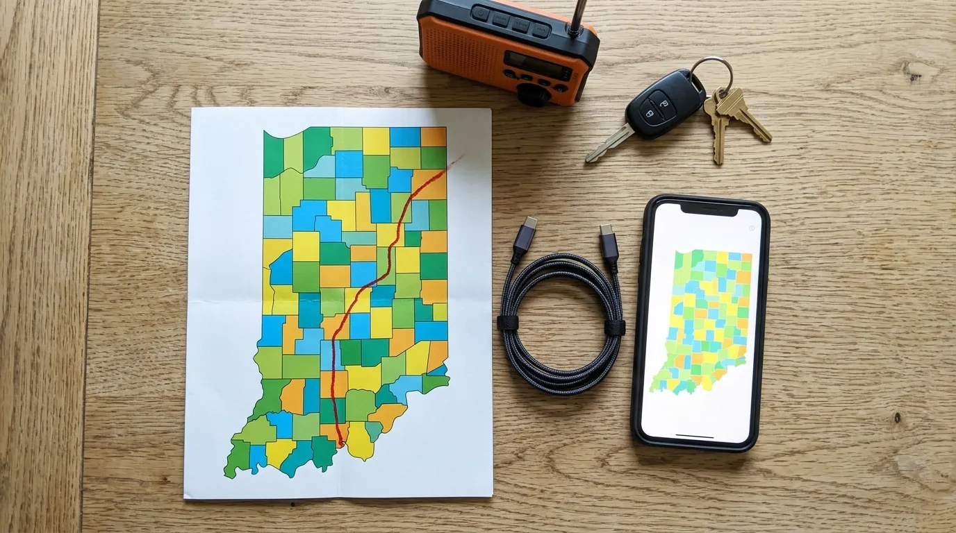
Step 1: Open the Official Map
Open the Indiana Department of Homeland Security Travel Advisory Map in your browser.
Step 2: Refresh the Page
Reload it to avoid viewing an old browser session.
Step 3: Select Your County
Click or tap the county on the map, or use the dropdown list.
Step 4: Read the Status
Check whether it reports:
- No Elevated Status
- Advisory
- Watch
- Warning
Step 5: Check the Update Time
Review when the county last provided its status.
Step 6: Check Every County Along Your Route
Do not check only your starting location.
A trip from Indianapolis to South Bend, Fort Wayne, Bloomington or Evansville may cross several counties with different conditions.
Step 7: Compare Other Official Sources
Review:
- INDOT traffic information
- National Weather Service alerts
- County emergency-management updates
- Local law-enforcement notices
- School and business closures
- Your destination’s status
Step 8: Recheck Before Departure
Conditions can change while you pack, refuel or wait for other passengers.
Indiana Travel Advisory Map vs. INDOT Road Conditions
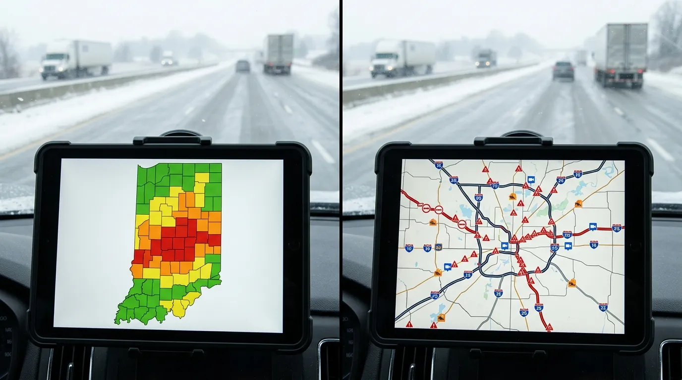
The IDHS county map and INDOT road resources serve different purposes.
The IDHS Map Shows Official County Statuses
The Indiana Department of Homeland Security map tells you whether a county has issued an official Advisory, Watch or Warning.
It answers:
What level of local travel restriction or caution has the county declared?
INDOT Tools Show Transportation Conditions
INDOT traffic resources may show information such as:
- Crashes
- Construction
- Road closures
- Traffic speeds
- Plow activity
- Cameras
- Weather-related incidents
- Highway restrictions
They answer:
What is happening on particular state roads and highways?
Use Both Tools Together
A county may be yellow while one specific highway remains clear and another rural road is hazardous.
Conversely, a county may show no elevated status while a crash, closure or isolated ice problem affects your exact route.
For the strongest decision:
- Check the county advisory color.
- Review your route through INDOT.
- Read weather alerts.
- Check local information at your destination.
- Reevaluate whether the trip is necessary.
County Advisory vs. National Weather Service Alert
These systems are related but not interchangeable.
County Travel Status
Issued locally and focused on travel conditions and public movement within a county.
Examples:
- Advisory
- Watch
- Warning
National Weather Service Alert
Issued for weather hazards affecting a defined geographic area.
Examples may include:
- Winter Weather Advisory
- Winter Storm Warning
- Ice Storm Warning
- Blizzard Warning
- Flood Warning
- Dense Fog Advisory
- Tornado Watch
- Tornado Warning
A National Weather Service Winter Storm Warning is not the same thing as an Indiana county’s red Travel Warning.
One describes a dangerous weather event. The other communicates local travel restrictions and instructions.
Check both.
Why Different Indiana Counties Have Different Colors
Weather rarely respects county lines, but its consequences can differ sharply across them.
One county may receive:
- Heavier snow
- More freezing rain
- Stronger wind
- More drifting
- Greater flooding
- Less road-treatment capacity
- More downed trees
- A higher number of crashes
Northern Indiana may also experience lake-effect snow, while southern counties may face ice, flooding or steep-road problems.
Local road networks matter too. A heavily urban county with extensive plowing resources can face different challenges from a rural county with long stretches of exposed roads.
How to Plan a Route Across Multiple Counties
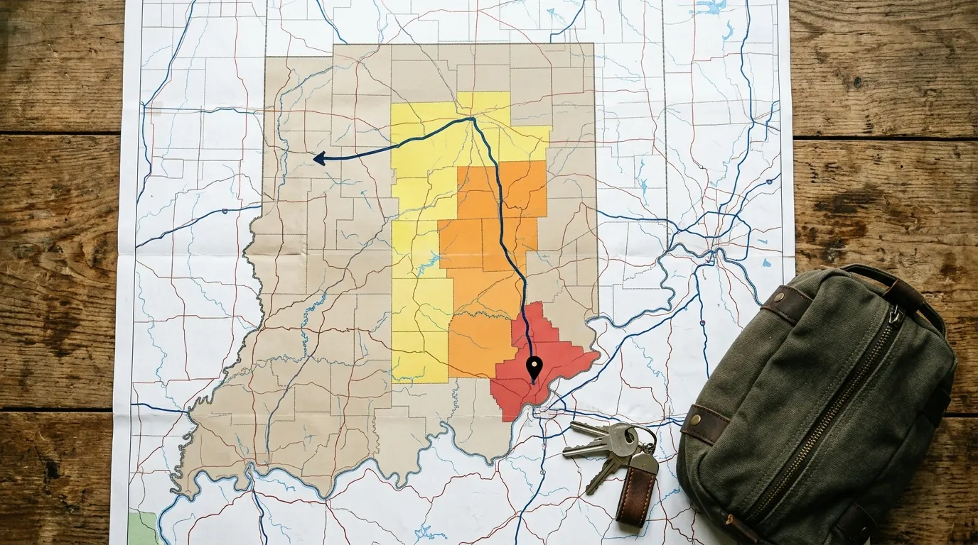
A road trip should be evaluated according to the most serious conditions along the route, not merely the color at the starting point.
Imagine this route:
| Route Section | County Status |
| Starting county | No elevated status |
| Second county | Yellow Advisory |
| Third county | Orange Watch |
| Destination county | Red Warning |
The correct conclusion is not that the journey begins safely.
The destination is under a red Warning, and the route passes through escalating conditions. The trip should be postponed unless you fall within an officially permitted exception.
Travelers preparing a longer drive can use this complete road trip through Nebraska as inspiration once conditions are safe. Its wide-open routes also demonstrate why checking weather, fuel stops and county-level conditions matters across the Midwest.
Winter Driving Preparation Checklist
Before Leaving Home
- Check the IDHS county map
- Refresh the map
- Check every county on the route
- Review INDOT traffic information
- Read National Weather Service alerts
- Confirm the destination is open
- Charge your phone
- Fill the fuel tank
- Tell someone your route
- Pack emergency supplies
- Remove snow and ice from the vehicle
- Check tires and windshield fluid
Emergency Supplies for the Vehicle
- Warm blankets
- Winter coat and gloves
- Drinking water
- Nonperishable snacks
- Flashlight
- Spare batteries
- Portable phone charger
- Ice scraper
- Snow brush
- Small shovel
- Traction material
- Jumper cables
- First-aid kit
- Reflective warning triangles
- Essential medication
Before Starting a Long Road Trip
- Download offline maps
- Save roadside-assistance information
- Identify fuel stops
- Avoid an overly tight schedule
- Check accommodation cancellation terms
- Prepare an alternative route
- Know where to stop if conditions worsen
How to Drive More Safely in Snow and Ice
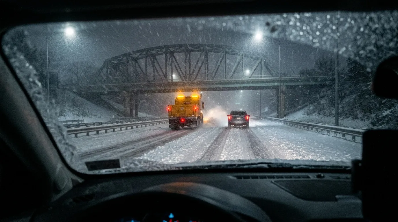
Reduce Speed Gradually
Posted speed limits assume favorable conditions.
Snow, slush, ice and poor visibility require lower speeds and gentler steering.
Increase Following Distance
Leave far more room than usual between your vehicle and the one ahead.
Stopping distances can increase dramatically on slippery roads.
Avoid Sudden Movements
Accelerate, brake and steer smoothly.
Sharp inputs can cause skidding.
Do Not Use Cruise Control
Cruise control can be unsafe on wet, icy or snow-covered roads because it may respond poorly when traction changes.
Give Snowplows Space
Remain well behind plows and avoid driving in their blind spots.
The road behind a working plow is often safer than the untreated lane ahead of it.
Watch Bridges and Overpasses
Elevated surfaces can freeze before surrounding pavement.
Keep Headlights On
Improve your visibility to other road users, even during daylight.
Turn Around Before Conditions Become Unmanageable
Do not continue simply because you have already traveled part of the route. Sunk-cost thinking belongs in economics textbooks, not on an icy interstate.
What to Do if Your Vehicle Becomes Stranded

Stay With the Vehicle
Unless a safe occupied building is extremely close, the vehicle generally offers shelter and is easier for rescuers to locate.
Call for Help
Contact emergency services if you face immediate danger. Otherwise, contact roadside assistance and provide precise location details.
Make the Vehicle Visible
Use hazard lights and reflective markers.
Conserve Fuel
Run the engine periodically rather than continuously when conditions allow.
Keep the Exhaust Pipe Clear
Snow around the exhaust can allow carbon monoxide to accumulate inside the vehicle.
Stay Warm Carefully
Use blankets and extra clothing. Move your arms and legs periodically without exhausting yourself.
Avoid Wandering Into the Storm
Poor visibility can make a short walk dangerous. Distances and landmarks become deceptive in blowing snow.
Travel Advisory Map for Indianapolis

Indianapolis lies in Marion County.
To check the current Indianapolis travel status:
- Open the IDHS map.
- Select Marion County.
- Check its color and update time.
- Review nearby counties if traveling beyond the city.
- Check INDOT for interstate incidents.
Major routes around Indianapolis include:
- Interstate 65
- Interstate 69
- Interstate 70
- Interstate 74
- Interstate 465
Conditions can differ between the urban core, outer suburbs, bridges and surrounding rural counties.
Travel Advisory Map for Northern Indiana
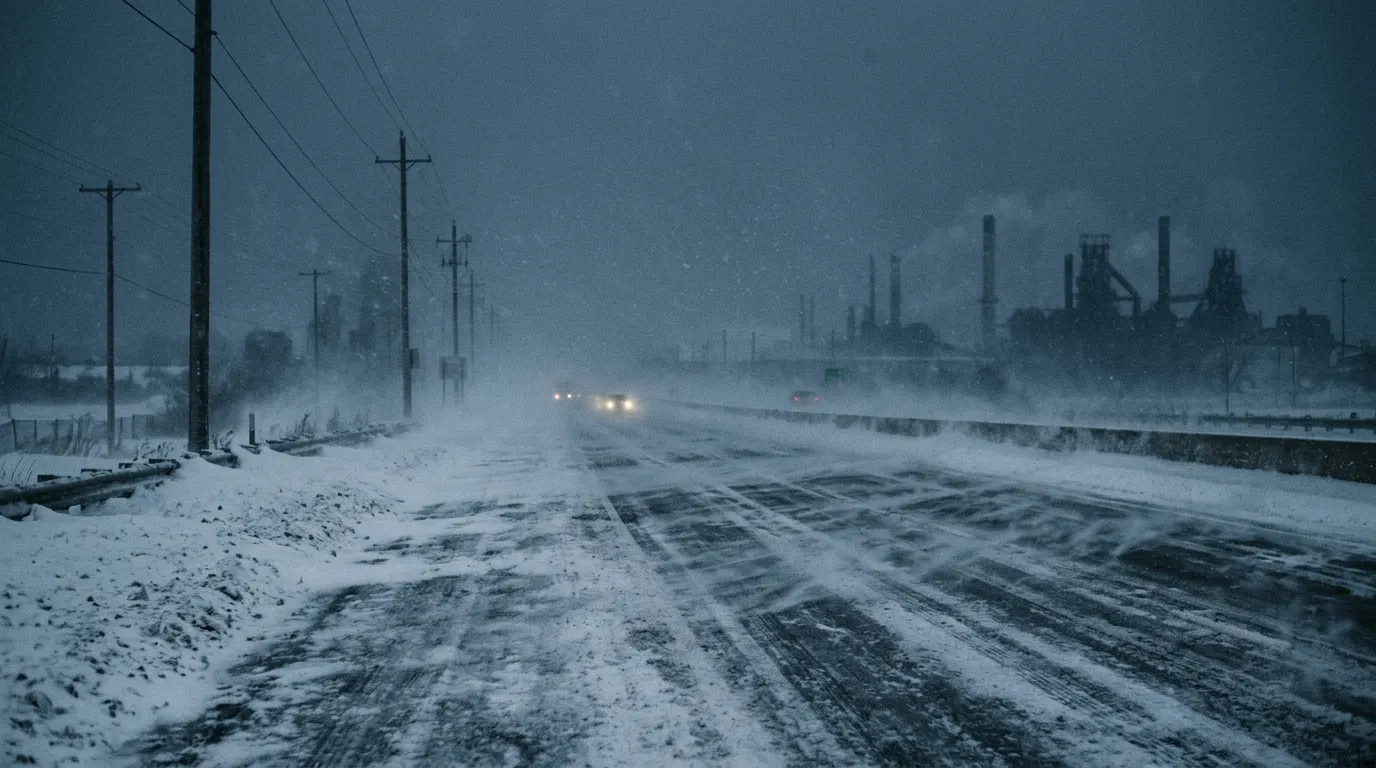
Northern Indiana can experience heavy snow, strong winds and lake-effect conditions.
Travelers should check counties along routes near:
- South Bend
- Elkhart
- LaPorte
- Michigan City
- Gary
- Valparaiso
- Fort Wayne
- Angola
Interstates and major roads include:
- I-80
- I-90
- I-94
- I-65
- I-69
- U.S. 30
Conditions near Lake Michigan can change sharply over short distances.
Travel Advisory Map for Southern Indiana

Southern Indiana may encounter freezing rain, flooding, fallen trees and hazardous hills.
Important areas and routes include:
- Bloomington
- Columbus
- Terre Haute
- Vincennes
- Evansville
- New Albany
- Jeffersonville
- Madison
- I-64
- I-65
- I-69
Roads through hilly and wooded areas may remain hazardous even when major highways improve.
Travel Advisory Map for Interstate Trips
Indiana is crossed by several major interstate corridors, which makes it an important link in longer Midwestern road trips.
Interstate 65
Connects the Chicago area, northwest Indiana, Indianapolis and Louisville.
Interstate 69
Serves northeast Indiana, Fort Wayne, central Indiana and the route toward Evansville.
Interstate 70
Crosses Indiana through Terre Haute, Indianapolis and Richmond.
Interstate 74
Runs through western Indiana, Indianapolis and southeastern parts of the state.
Interstate 80 and Interstate 90
Carry heavy traffic across northern Indiana.
Interstate 94
Serves northwest Indiana near Lake Michigan.
A highway may cross numerous counties. Check the full corridor rather than assuming one city’s weather report represents the entire drive.
This is especially important on ambitious cross-country journeys such as a Route 66 road trip, where weather and road conditions can vary across several states during a single itinerary.
Flooding and the Indiana Travel Advisory Map
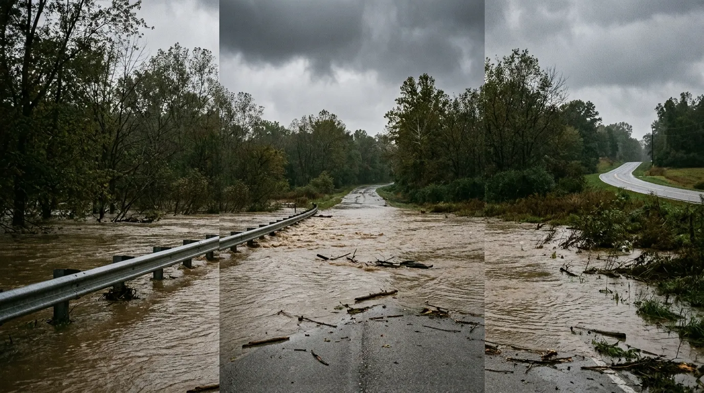
The county map is not only for snow and ice.
Heavy rain can produce:
- Flash flooding
- River flooding
- Washed-out roads
- Water over pavement
- Closed bridges
- Mud and debris
- Downed trees
- Damaged drainage systems
Never drive through standing or moving water.
It is difficult to judge depth from inside a vehicle, and the road beneath the water may be damaged or missing.
TURN AROUND
A flooded road is not an invitation to test the vehicle manufacturer’s marketing department. Choose another route.
Tornado and Severe-Storm Travel
During severe thunderstorms or tornado threats, road travel creates additional hazards.
Possible dangers include:
- Hail
- Extreme wind
- Falling trees
- Power lines across roads
- Flying debris
- Sudden flooding
- Reduced visibility
- Traffic-signal outages
A county travel status provides useful local context, but tornado warnings require immediate protective action.
Do not attempt to outrun a tornado in a vehicle. Follow National Weather Service and local emergency instructions.
Is the Indiana Travel Advisory Map Real Time?
The map is often described as updating as counties report changes, but it is not a live sensor reading of every road.
Its information depends on:
- A county assessing local conditions.
- The county emergency management agency choosing a status.
- That agency notifying the state.
- The map reflecting the submitted report.
IDHS advises users to refresh the page because the map does not automatically reload in the browser.
Think of it as the latest official county report, not a live camera aimed at every intersection.
Can You Be Ticketed for Driving During a Red Warning?
A red Warning may include travel restrictions, but exact enforcement and exceptions depend on Indiana law and the specific local emergency declaration.
The official state guidance directs individuals to refrain from travel, comply with emergency measures and obey lawful directions from properly identified officers. It also notes that additional exceptions exist under Indiana law.
Do not rely on social-media claims about automatic fines or universal exemptions.
Check:
- The county’s official declaration
- Local law-enforcement guidance
- Employer instructions
- Indiana law
- Directions from emergency personnel
Even where a journey is legally permitted, it may still be unsafe.
Do Employers Have to Close During an Orange Watch?
An orange Watch recommends only essential travel and says emergency plans should be implemented by businesses, schools, government agencies and other organizations.
It does not automatically mean every private employer statewide must close.
Employees should contact their employer directly and review workplace emergency policies.
During a red Warning, local restrictions may be more severe. Follow the county declaration and official instructions.
Are School Closings Based on the Map?
Schools may consider the county travel status, but closings and delays are made by individual school systems based on their policies and local conditions.
They may also consider:
- Bus-route conditions
- Wind chill
- Forecast timing
- Sidewalk safety
- Rural road treatment
- Building access
- Utility outages
- Staff transportation
A yellow Advisory does not automatically close schools, and the absence of an advisory does not guarantee normal operations.
Is Google Maps Enough During a Winter Storm?
No.
Navigation apps are useful for route guidance and reported congestion, but they should not replace official emergency information.
A map application may suggest a shortcut that:
- Uses an untreated county road
- Crosses a flood-prone area
- Leads into a county under a higher advisory
- Has not yet been marked closed
- Appears faster only because traffic data is incomplete
Use navigation apps alongside, not instead of:
- The IDHS county map
- INDOT information
- National Weather Service alerts
- Local emergency-management updates
Common Mistakes When Using the Map
Looking at an Old Screenshot
Shared maps may be hours or days old.
Always open the live official page.
Checking Only Your Home County
Your route may cross more dangerous counties.
Ignoring the Update Time
A status without context may not reflect the latest conditions.
Confusing Orange With a Mild Alert
An orange Watch means only essential travel is recommended.
Treating Red as Optional Advice
A red Warning is the highest local level and directs the public to refrain from travel.
Assuming an Uncolored County Has Perfect Roads
“No Elevated Status Reported” does not promise ideal driving.
Trusting a Navigation App Alone
Traffic routing cannot replace emergency declarations.
Assuming Major Highways Are Automatically Safe
Interstates may be treated first, but crashes, whiteout conditions and ice can still make them dangerous.
Planning an Indiana Road Trip Safely
Indiana offers lakeshore landscapes, small towns, state parks, caves, historic communities and major cities. The state tourism office highlights everything from Indiana Dunes in the north to caves and rolling landscapes in southern Indiana.
Before beginning a recreational trip:
- Check the forecast several days ahead.
- Recheck it the evening before departure.
- Review the county map on travel morning.
- Examine every county on the route.
- Keep the itinerary flexible.
- Reserve refundable accommodation where practical.
- Carry emergency supplies.
- Avoid rigid arrival deadlines.
- Postpone the trip when official guidance recommends it.
Travelers dreaming of warmer roads can explore this Jamaica island itinerary or this detailed Belize travel guide while an Indiana snowstorm performs its icy opera outside.
For an international journey with mountains, coastlines and rapidly changing road conditions, these Ecuador travel destinations also demonstrate why route research and weather awareness belong in every serious itinerary.
Quick Decision Guide
| Current Situation | Best Response |
| No elevated county status and roads appear clear | Continue monitoring conditions |
| Yellow Advisory | Drive cautiously and avoid affected areas |
| Orange Watch | Postpone nonessential travel |
| Red Warning | Refrain from travel |
| Destination has a higher level than home county | Follow the more serious restriction |
| Status has an old timestamp | Refresh and check local sources |
| Map and road observations conflict | Choose the safer option |
| Conditions worsen during the trip | Stop at a safe location or turn back |
| Floodwater covers the road | Do not enter |
| Tornado warning is issued | Seek appropriate shelter immediately |
Frequently Asked Questions
What is the official Indiana Travel Advisory Map?
It is a county-by-county map maintained by the Indiana Department of Homeland Security showing local Advisory, Watch and Warning statuses reported by county emergency management agencies.
What does yellow mean on the Indiana Travel Advisory Map?
Yellow means Advisory, the lowest elevated level. Routine travel may be restricted in hazardous areas, and people should use caution or avoid those locations.
What does orange mean on the map?
Orange means Watch. Conditions threaten public safety, and only essential travel is recommended.
What does red mean on the map?
Red means Warning, the highest local level. Travel may be restricted to emergency management workers, and members of the public are directed to refrain from travel unless an applicable exception or local instruction says otherwise.
Does the Indiana map update automatically?
The statewide system updates when counties provide new reports, but the simplified browser map does not automatically refresh on the user’s screen. Reload the page to see the newest available information.
Who decides a county’s travel status?
The county’s emergency management agency assesses local conditions and reports the official status to the state.
Is the Travel Advisory app still available?
No. IDHS states that the app is no longer available, but the website can be used on a mobile device.
Is a county Watch the same as a weather watch?
No. The county Watch is a local travel status. Weather watches are issued through weather-alert systems for specific meteorological threats.
Should I drive during an orange Watch?
Only essential travel is recommended. Recreational and postponable journeys should be delayed.
Can I drive to work during a red Warning?
A red Warning may restrict travel to emergency management personnel, subject to legal exceptions and the county’s declaration. Contact your employer and follow official county and law-enforcement instructions.
Why is my county yellow when neighboring counties are orange?
Each county assesses its own roads, hazards and emergency conditions. Snowfall, ice, wind, flooding and road-treatment progress can vary across short distances.
Does no elevated status mean roads are safe?
Not necessarily. It means the county has not reported an elevated travel advisory. Always check road, weather and traffic information.
Should travelers check the map in summer?
Yes. Flooding, tornado damage, high winds and other emergencies can affect travel outside winter.
What should I check besides the county map?
Check INDOT transportation information, National Weather Service alerts, county emergency-management messages and local law-enforcement updates.
Final Thoughts

The Indiana Travel Advisory Map turns a complicated statewide weather event into a clear county-by-county warning system.
Yellow asks for caution.
Orange asks whether the journey is genuinely necessary.
Red tells the public to stay off the roads.
The colors are simple, but responsible travel still requires more than glancing at a map. Refresh the page, inspect the timestamp, check every county along the route and compare the result with official road and weather information.
Most importantly, be willing to change the plan.
A delayed appointment, canceled shopping trip or postponed road trip is inconvenient. Becoming stranded in a snowstorm, blocking a plow or requiring an emergency rescue is far worse.
The safest route sometimes begins by leaving the car exactly where it is.